Lowcountry Residents Brace for Rainy Weekend Ahead of Tropical Storm Francine
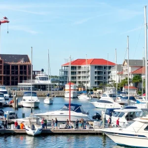
The cozy town of Charleston is preparing for a drizzly weekend as _Tropical Storm Francine_ spins in the Gulf of Mexico, likely to strengthen into a hurricane by midweek. While Francine is set to make landfall along the northwestern Gulf Coast, it seems the Lowcountry may dodge the brunt of the storm. Still, we can expect some lingering effects, particularly in the form of rain.
What’s on the Horizon?
According to the National Weather Service’s Charleston Office, Meteorologist Neil Dixon shared that a warm front associated with the storm is expected to sweep into Southeast South Carolina as early as Thursday. This means that our lovely weekend plans might need to include an umbrella as another rainy spell approaches!
Rainy Days Ahead
The wet weather is forecasted to kick off on Friday and last through Sunday, with the peak rainfall likely hitting during this time. Fortunately, Dixon reassured us that _significant downpours_ aren’t anticipated; locals on Hilton Head Island may see the most moisture, tallying up to 2 inches over the weekend. So, for those who enjoy a leisurely stroll on the beach, it might be best to keep an eye on the clouds!
Keeping an Eye on Other Tropical Systems
As we gear up for a soggy weekend, we’re also watching two additional systems swirling in the Eastern and Central Tropical Atlantic. Dixon explained that it’s challenging to predict whether these systems would ultimately have any effect on the Lowcountry. On Monday, one of these systems was identified as an area of low pressure sitting over the central tropical Atlantic. Conditions appeared to be _marginally conducive_ for development in the coming days, giving it a 60% chance of forming into a tropical depression.
Future Developments
This system is projected to make its way westward-northwestward at about 10 mph, so we’ll need to keep our eyes peeled for any new updates. Meanwhile, the second system, characterized as a trough of low pressure located several hundred miles west-southwest of the Cabo Verde Islands, may interact with an approaching tropical wave. As with the first, this system also has a 60% chance of developing into a tropical depression as it heads west-northwestward at speeds between 10 to 15 mph later this week.
Current State of Tropical Storm Francine
As of Monday, _Tropical Storm Francine_ was clocking in with sustained winds of 50 mph and moving north-northwest at 5 mph. While the storm is expected to take a path that spares us from the severe impacts, it’s always a good idea to stay informed and prepared. Weather forecasts can be unpredictable, and conditions can change rapidly.
Wrapping Up
As we brace for the potential rain, it’s also a good reminder to reconnect with neighbors and community. Why not share weather updates or help each other prepare for the rainy days? Grab that raincoat and stay safe out there, Charleston! Let’s hope that the rainfall helps to nurture the lush greenery of our Lowcountry and brings a refreshing change to this autumn season.
In the meantime, take care and enjoy the cozy vibes that a rainy weekend can bring—perhaps curled up with a good book or watching your favorite show. Let’s stay connected, keep our spirits up, and navigate the weather together!