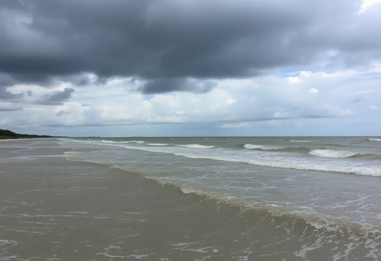

Beaufort's coastline under a coastal flood watch, showcasing turbulent waters and clouds.
Article Sponsored by:
Mays Contracting is more than just a roofing company; it’s a family legacy built on trust and quality. Founded in 1979, we’ve been serving the community for over four decades. Our story began with a simple vision: to provide exceptional roofing services for both residential and commercial properties. This vision has guided us ever since, as we’ve grown from a small, family-run operation to a trusted name in the industry.
Beaufort, South Carolina – The National Weather Service (NWS) has issued an updated coastal flood watch on Friday evening, letting residents know to be prepared for potential flooding this weekend. Valid from Saturday morning, between 6 a.m. and 10 a.m., the watch is particularly focused on Coastal Bryan, Coastal Chatham, Coastal Liberty, Coastal McIntosh, Coastal Jasper, and of course, Beaufort County.
According to the NWS, residents can expect one to two feet of inundation above ground level along shorelines and tidal waterways. At Fort Pulaski, the mean lower low water levels are projected to be around 10.4 to 10.6 feet, making it crucial for those living near these areas to stay vigilant.
The high tide is anticipated to occur at approximately 7:52 a.m. on Saturday. The NWS emphasizes that saltwater inundation could begin 1 to 2 hours before and continue for a couple of hours after high tide, making it a good time to prepare.
With the forecasted conditions, the weather service warns that numerous roads are likely to experience flooding, and some properties may be affected. Highway 80, which leads to Tybee Island, is expected to be impassable. If you must travel during this time, the NWS advises planning for extra time, as various roads could be closed. Remember, never drive around barricades or attempt to cross water where the depth is unclear.
If you live in an area prone to flooding or are currently camping in low-lying zones, it is essential to seek higher ground immediately. In the event of an evacuation order, don’t hesitate to leave. Make sure your home is securely locked when you depart, and if time allows, disconnect utilities and appliances to prevent further issues. Be cautious around basements or rooms that have submerged electrical outlets or cords.
Should you notice any sparking or hear buzzing, crackling, or popping sounds, evacuate the area at once. Avoid entering water that may carry an electric current, and steer clear of floodwaters. Just remember, as little as six inches of moving water can knock you off your feet. If you do find yourself trapped by moving water, seek the highest point available and call emergency services at 911.
As the rain continues this weekend, be cautious about hydroplaning, which can occur when your vehicle starts sliding uncontrollably on wet roads. This dangerous situation arises when water in front of the tire builds up faster than the weight of the car can push it out of the way, creating a thin layer of water that can cause the vehicle to lose control. It’s caused by a few different factors, and understanding them can help prevent accidents on rainy days.
If your vehicle does begin to hydroplane, keep calm. Avoid slamming on the brakes, and steer gently in the direction you want to go. Ease off the gas pedal and wait until you regain traction. Remain alert and prepared for changing road conditions, especially during heavy rain.
In summary, with a coastal flood watch in effect until Saturday at 10 a.m., being prepared is key. Keep an eye on the weather and stay safe, Beaufort! If you’re in a flood-prone area, take the necessary precautions to protect yourself and your property. Let’s look out for one another during this weather emergency!
Remember, preparation is your best tool against nature’s unpredictability.

Quality Roof Construction and Repair in Lexington, Richland, Newberry and Laurens Counties for over 40 Years.
News Summary South Carolina executed Brad Sigmon by firing squad on March 7, 2025, marking…
News Summary In a historic movement for South Carolina politics, the state Senate is considering…
News Summary South Carolina and Canada have entered a significant trade partnership resulting in a…
News Summary Raleigh, North Carolina has been named the best-performing large city in the U.S.…
News Summary South Carolina has been named the top growth state for 2024, overtaking Texas…
News Summary In Charleston, the proposed S.244, or the South Carolina Justice Act, aims to…