Clemson Residents Face Strong Thunderstorm Alert
Hey, Clemson! We’ve got some thrilling—and by thrilling we mean potentially dangerous—weather happening in our neck of the woods. As of 4:34 p.m. today, the National Weather Service (NWS) for the Greenville-Spartanburg area has put out an alert for **strong thunderstorms** that could stick around until about 5:15 p.m. There’s a good chance we’ll experience some serious wind gusts, reaching up to **40 miles per hour**!
What’s Happening?
Shortly before the alert, specifically at 4:33 p.m., Doppler radar caught sight of a strong thunderstorm making its way just **4 miles southwest** of Clemson, moving toward us at a speed of **35 miles per hour**. That’s like a fast jogger, and you know how hard it can be to keep up when the weather takes a turn!
If you find yourself outdoors, it’s a smart move to try and seek shelter indoors. The NWS has warned that **gusty winds** could knock down tree limbs and send those pesky unsecured items flying about. You really don’t want to be an unintended target for a lost garden gnome!
Who’s in The Danger Zone?
It’s not just Clemson that needs to be on high alert. Nearby areas—such as **Easley, Seneca, Central, Williamston, Northlake, Pendleton, Liberty, West Pelzer**, and **Norris**—are also included in the alert, so grab your friends and make sure they’re informed!
Watch Out for Rain and Flooding!
In addition to the gusty winds, this storm is also bringing **torrential rainfall**, which can lead to localized flooding. A quick reminder: if you encounter flooded roadways while driving—don’t do it! It’s not worth the risk. Turn around and find a safer route. Remember the adage: “Turn around, don’t drown.”
Thunder and Lightning Safety
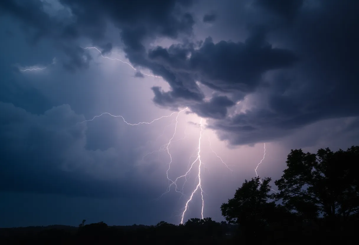
If you’re out on the northeast part of **Lake Hartwell,** make sure you’re getting out of the water and inside a building or vehicle. It’s a little-known fact that a typical thunderstorm can produce **25 million lightning strikes across** the U.S. every year, especially in the **summer months**. That means we need to stay aware! In fact, the NWS reports about **20 fatalities** occur from these strikes annually. If you can hear thunder, you are **close enough** to be potentially hit by lightning. So, don’t wait— *find shelter now!*
What is Hydroplaning?
Now let’s tackle another concern: what if you have to drive in this weather and encounter those slippery roads? That brings us to **hydroplaning**. This happens when your vehicle starts gliding uncontrollably on wet roads, which can be super scary! When water in front of your tires builds up faster than your car’s weight can push it out of the way, your tires can actually rise up, sliding on a thin layer of water. It’s like trying to walk on ice, only worse!
Be Prepared!
Hydroplaning usually stems from three main causes: speed, water, and tire conditions—so, keep all of these in check! If you do start to hydroplane, remember: *don’t panic.* Steer straight, ease off the gas pedal, and avoid slamming on the brakes. If it’s possible, get to safety and wait it out.
Final Words
So, as we sit and watch the clouds roll in, it’s a good idea to stay informed and connected. Keep those radios tuned in and TVs turned on for further updates from the NWS. Stay safe out there, everyone!


 Mays Contracting

