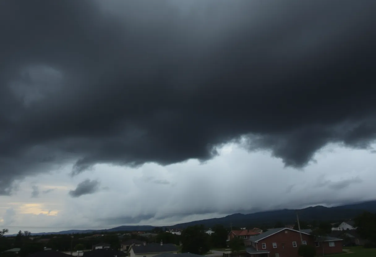
Strong Thunderstorms Roll Through Batesburg-Leesville
Hey Batesburg-Leesville residents! If you’ve stepped outside lately, you might have noticed the sky turning dark and a brisk wind picking up. That’s because the National Weather Service (NWS) issued a weather alert on Wednesday evening, letting us know that we’re going to be dealing with some strong thunderstorms through the night, lasting until about 9:30 p.m.
What to Expect
Right now, gusty winds could reach up to 50 mph, and don’t be surprised if you see some marble-sized hail (that’s about 0.5 inches in diameter) making a ruckus in the neighborhood. The latest update at 8:43 p.m. reported a strong storm detected via Doppler radar right around our area, moving east at a speed of 25 mph. That means we could really be in for a bumpy ride!
Impacted Areas
So, which local spots are at the forefront of this weather warning? The NWS has mentioned that places like Red Bank, Pelion, Gilbert, Summit, Camp Kinard, Kneece, Samaria Fire Station, and Cedar Pond Campground might experience some action from these storms. If you’re traveling along Interstate 20, particularly between mile markers 37 and 52, keep your eyes peeled and your hands on the wheel.
Safety First!
During times like these, staying safe is the top priority. The NWS advises that if you’re outdoors, it might be wise to find shelter inside a sturdy building to avoid any lightning strikes. Just so you know, lightning hits the U.S. about 25 million times each year, which is a staggering number! On average, around 20 people lose their lives each summer due to lightning strikes, so those safety measures are no joke.
What’s Hydroplaning?
As we navigate these wet roads, we should also be aware of hydroplaning. This occurs when a vehicle starts to slide out of control on wet surfaces. Essentially, it happens when the water builds up in front of your tires faster than your vehicle’s weight can push it out of the way. If you happen to be hydroplaning, it can feel like you’re driving on a slick ice rink, which is certainly not good for any driver!
Hydroplaning Tips
In the event that you find yourself hydroplaning, remember this: don’t panic! Ease off the gas gently, and avoid slamming on the brakes. Instead, carefully steer in the direction you want to go. It might take a little practice, but staying calm is key! Also, make sure your tires are in good condition and that you’re driving at safe speeds—especially when rain starts to fall.
Stay Updated!
As we wait for the storms to pass, make sure you stay informed about the weather. Whether it’s through local alerts or by keeping an eye on the skies, we all need to look out for one another during these unpredictable times.
So, Batesburg-Leesville, keep safe, and don’t forget to recharge those phone batteries! You might want to keep up-to-date with the latest weather information. Stay dry and be aware of your surroundings!


 Mays Contracting

