Severe Thunderstorm Alert in Southern Spartanburg
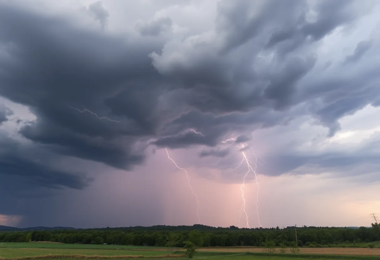
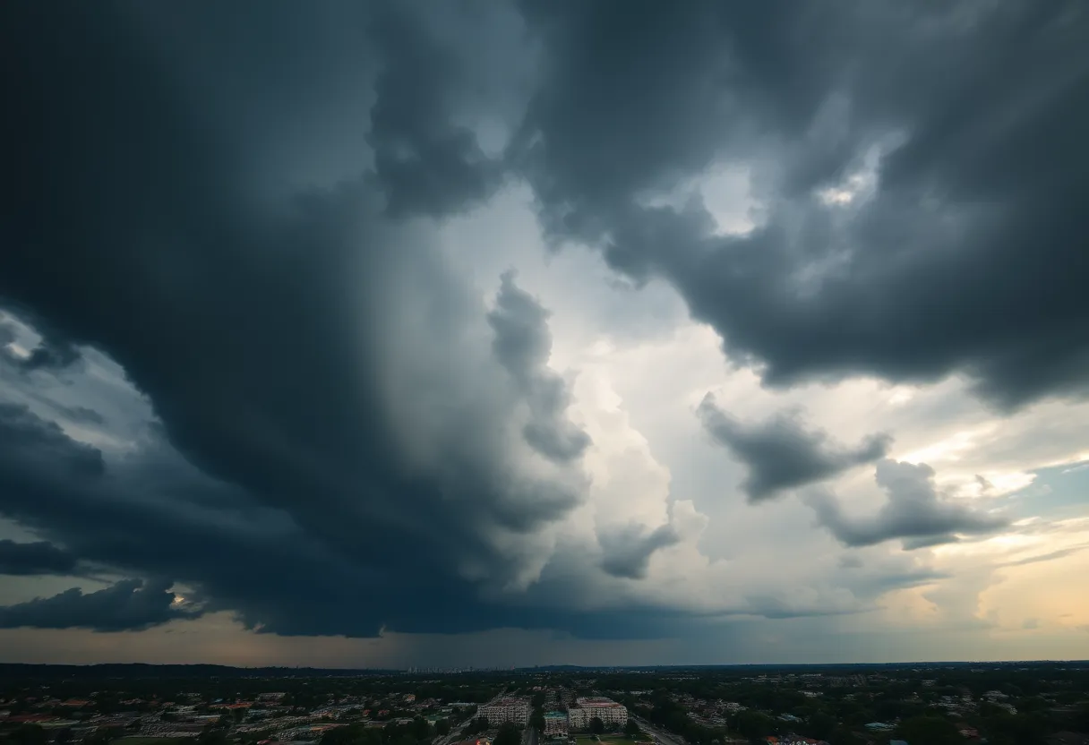
Spartanburg, SC – On Saturday evening, residents of Southern Spartanburg, Laurens, and Union counties were notified of strong thunderstorms that could potentially wreak havoc until about 7:15 p.m. According to an updated report from the National Weather Service (NWS) Greenville-Spartanburg, Doppler radar picked up on a strong thunderstorm located roughly 9 miles northeast of Laurens, moving southeast at a brisk 20 mph. This situation has many locals on alert, as they brace themselves for some wild weather.
What to Expect
As the storm rolls through, residents can expect gusty winds that may clock in at around 40 mph. This sort of wind could easily knock down tree limbs and send unsecured items tumbling. Affected areas include popular spots like Clinton, Joanna, Cross Anchor, Sedalia, Kinards, Cross Keys, and Ora. If you happen to be outside when the storm approaches, it’s highly recommended that you look for shelter as soon as possible to stay safe.
Be Weather-Wise
The NWS has also reported torrential rainfall accompanying this storm. This could lead to localized flooding, making it dangerous to drive on the roads. A word of caution: do not attempt to drive your vehicle through flooded roadways. If you find yourself caught in the storm, the safest place is undoubtedly indoors. Your safety comes first!
Lightning Danger
Did you know that around 25 million lightning strikes occur in the United States every year? Most of these strikes happen during the summer months, and they lead to around 20 fatalities each year. The further a thunderstorm approaches, the higher the risk of lightning strikes becomes, peaking when the storm is right overhead. So don’t take the risk; if you can hear thunder, you are already in danger.
Safety Tips During Thunderstorms
As storms roll in, it’s crucial to have safety measures in mind. Here are some friendly reminders:
- If you can’t find shelter indoors, seek a low-lying area away from trees and fences.
- Keep away from windows to avoid falling glass and debris.
- Stay off electrical equipment and landlines.
What is Hydroplaning?
One of the things to be mindful of during rainstorms is hydroplaning. This occurs when a vehicle starts sliding uncontrollably on wet roads. Hydroplaning usually happens when the water accumulates in front of the tire faster than your vehicle can push it out of the way. The pressure from the water can lift the vehicle slightly, creating a thin layer of water between the tires and the road. It’s like riding on a slippery surface, and it can definitely make it hard to steer!
Causes of Hydroplaning
Hydroplaning can often be attributed to a few key factors:
- Speed: The faster you’re going, the more likely you are to hydroplane.
- Tire Condition: Worn tires are more prone to hydroplaning.
- Water Depth: Heavier rain leads to deeper puddles, increasing risk.
Staying Safe on the Road
If you find yourself hydroplaning:
- Stay calm! Ease off the gas but avoid slamming on the brakes.
- Steer gently in the direction you want the front of your vehicle to go.
- Once the vehicle is back in tire contact with the road, you can regain control.
As this storm continues to roll through, remember to stay safe and keep an eye on the sky. Being weather-wise can make all the difference!


 Mays Contracting

