Preparing for Tropical Storm Helene: What You Need to Know
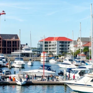
Charleston, SC
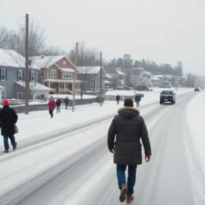
As we brace ourselves for Hurricane Helene, we want to keep our community informed and prepared. The storm is currently moving through the northwestern Caribbean Sea and is expected to intensify, possibly becoming a major hurricane by Thursday. The National Weather Service has already shared some vital information regarding Helene’s trajectory and potential impacts on our beautiful Lowcountry region.
As of Tuesday morning, Helene was spotted about 180 miles east-southeast of Cozumel, Mexico, hurtling west at 12 mph and packing sustained winds of approximately 45 mph. Meteorologists assure us that significant impacts will start reaching our area on Thursday, with the bulk of the storm expected between Thursday and Friday. Sounds like quite a ride, doesn’t it?
What Can We Expect?
According to local meteorologist Ron Morales, forecasts are becoming sharper as we get closer to the storm’s arrival. He said that models show Helene’s track is “quite locked in.” With that said, it’s better to prepare now rather than later! Here are the anticipated impacts:
- Tropical-storm-force winds will likely start affecting us as early as Thursday afternoon.
- Heavy rainfall could bring up to 3 inches, primarily from Thursday through Thursday night.
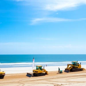
- High surf and potential beach erosion—be careful if you’re planning to visit the coast!
- Rising tides and storm surge could inundate areas by 1 to 2 feet. So, keep an eye on your property!
- And yes, there’s a possibility of isolated tornadoes, especially on Thursday.
Time to Prepare!
Frank Strait, the state’s severe weather liaison, emphasizes, “It’s time to prepare for a big storm, and you have until Thursday afternoon to get your plans in place.” What should you do? Start gathering your emergency kit with food, water, medications, and important documents. Make sure you have flashlights and batteries ready. And don’t forget to prepare your home—secure any loose items and check your storm drains.
However, it might not just be as simple as filling up the pantry. Morales mentioned, “These amounts of rain could lead to flash flooding if they occur over just a few hours.” So make sure you’re keeping an eye on any potential flooding in your area—especially if you live in or near low-lying spaces.
Potential Hazards Ahead
As we look towards the storm, there are a few other hazards to watch out for:
- High surf conditions are expected, making our beaches quite dangerous.
- Significant beach erosion could occur.
- Deadly rip currents might appear, so it’s best to avoid the water altogether.
- Seas could build to between 8 to 16 feet, creating hazardous marine conditions.
So, as we gird for Helene’s arrival, stay tuned for updates, check your supplies, and make safety your number one priority! Always pay attention to your local weather reports, and prepare your loved ones for whatever may come our way.
Let’s all band together as a community and ensure we’re ready for whatever this storm has in store for us!